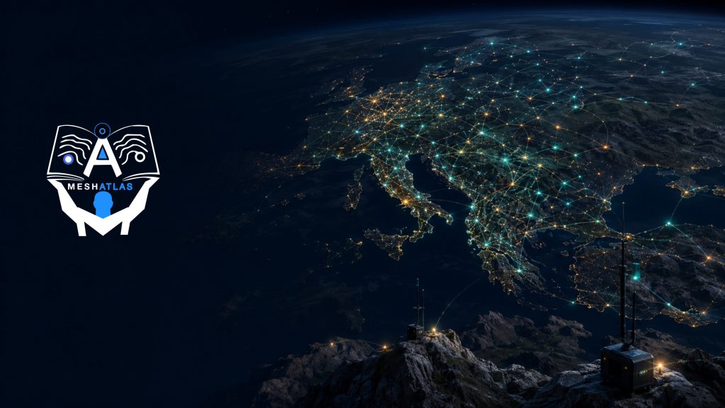
Public Meshtastic maps can help you discover active communities, identify fixed infrastructure and find people who may be using compatible radio settings nearby. They are useful starting points, but they are not complete maps of the radio network.
The most important fact to remember is simple: a Meshtastic node normally appears on an internet map only when somebody has deliberately arranged for information about it to reach an MQTT server. MQTT (Message Queuing Telemetry Transport) is a lightweight internet messaging protocol used by Meshtastic as an optional bridge. Meshtastic itself works over LoRa radio without MQTT or internet access. See Meshtastic MQTT module configuration.
A blank area on a map therefore means “no visible reports in this map’s dataset,” not “there are definitely no Meshtastic nodes here.”
The Meshtastic public map
The project provides the Meshtastic public map. It displays nodes that submit specially prepared map reports through MQTT. These reports were introduced in firmware 2.3.2 and are disabled by default. When enabled, a node periodically sends an unencrypted report intended for compatible online maps. See the official Map Reporting Enabled documentation.
A map report can include:
- The node’s long name, short name and node ID
- An exact or deliberately reduced-precision position and altitude
- The hardware model and configured node role
- The firmware version
- The LoRa region, modem preset and primary channel name
- Whether the node is reachable on the default channel using the known default key
- The number of local nodes heard during the previous two hours, excluding nodes heard through MQTT
The default map-report interval is one hour, and one hour is also the documented minimum. A marker should therefore be read as a recent report, not as proof that the device is online at this exact second. A fixed node may also remain shown while its radio link is temporarily unavailable. See the official map report interval documentation.
How nodes appear—and do not appear—on a map
There are two related ways in which Meshtastic location information may reach community mapping services.
- Dedicated map reporting: an internet-connected node sends a periodic, unencrypted
MAP_REPORTpacket to its configured MQTT broker. - Ordinary packets uploaded by a gateway: some independent maps process node information, position, telemetry or neighbour packets that a node—or another node that hears it—uploads to MQTT.
The first method is the defined mechanism for the official public map. The second depends on the rules, broker and software used by each independent map. For example, Liam Cottle’s Meshtastic Map explains that it displays nodes whose valid position packets reach its MQTT service and that packets must be unencrypted or use the known default key. Its own page also explains its removal and retention policy. It is an independent community project, not an official Meshtastic service.
A node can remain invisible for many reasons:
- It is completely off-grid and has no MQTT gateway nearby.
- Its owner has left map reporting disabled.
- It does not send a position.
- Its position is sent only over a private channel whose key the map does not possess.
- Its “OK to MQTT” permission is disabled where that permission applies.
- It uses a different MQTT broker or root topic from the map.
- It has not reported recently enough to satisfy the map’s retention rules.
- It uses a different regional band, frequency slot or modem preset from the local community.
This is why a public map must never be described as showing all Meshtastic nodes.
How to find Meshtastic nodes near you
- Open the official Meshtastic map and search or zoom to your area.
- Compare it with an independent service such as MeshMap or Liam Cottle’s map. Different maps can contain different nodes because their data sources and policies differ.
- Check the official Meshtastic local-groups directory. It lists active communities across the Americas, Europe, Africa, Asia and Oceania, including national and city-level websites, Discord servers, Telegram chats and Facebook groups.
- Ask the nearest group which region, modem preset, primary channel and frequency slot it uses. A nearby marker does not guarantee that your node is configured compatibly.
- Set up your own node using the correct legal regional setting, place it well and listen over radio. The official region-by-country page lists settings used worldwide, including
USfor the United States and Canada,EU_868andEU_433for many European countries, and distinct settings for countries such as Australia, New Zealand, Japan, Korea, India and Brazil.
Always verify radio rules with your own national regulator. A software region setting helps the device use appropriate parameters, but it is not a substitute for knowing the regulations that apply to your equipment, antenna and location.
Reading coverage maps critically
A public node map is primarily a directory of reported points. Unless the service explicitly calculates a propagation model or displays verified range-test results, a marker does not describe a circular area of guaranteed radio coverage.
What high node density may mean
A dense cluster suggests an active community or at least many MQTT-visible reports. It may indicate a better chance of finding compatible nodes. It does not prove that every marker can communicate with every other marker. Buildings, hills, vegetation, antenna placement, modem settings and radio congestion can separate nodes that look close together on a flat map.
What a gap may mean
A gap can mean that no network has been built, but it can also mean that local users prefer radio-only operation, do not share positions, use private channels or report elsewhere.
What one isolated marker may mean
An isolated marker could be a genuinely independent node, an MQTT-connected home station, a portable device that last reported there or an intentionally blurred location. It is evidence of a report—not evidence of continuous coverage around that point.
For actual radio testing, Meshtastic provides a Range Test module that can record received test packets and coordinates to CSV. The official documentation warns that range testing consumes airtime and should be disabled when testing is complete.
Privacy and position precision
Publishing a node can reveal more than a dot. A map report may expose its name, approximate location, hardware, role, firmware, radio configuration and information about nearby activity. A fixed marker placed precisely on a private home, workplace or unattended solar site can identify the owner or the physical location of equipment.
Meshtastic provides two relevant location controls:
- Channel position precision: controls how accurately ordinary position data is shared on a particular channel. A value of
0prevents location from being sent on that channel;32sends full precision. Intermediate values deliberately reduce detail. - Map report position precision: separately controls the position detail placed in the dedicated public map report. Its documented default corresponds to a maximum deviation of about 1,459 metres.
The official position-precision table gives useful reference points: 10 bits is about 23.3 km, 13 bits about 2.9 km, 14 bits about 1.5 km, 16 bits about 364 m and 19 bits about 45 m. These are levels of coordinate precision, not estimates of radio range.
The official Meshtastic public MQTT service additionally filters precise position packets on the default pre-shared key: only imprecise positions using 10–16 bits are shared on the relevant topic. That server-side protection should not replace your own settings, particularly when using another public or private broker. See the public MQTT location-filtering policy.
Before opting in, consider:
- Use an approximate location for a home node rather than identifying a particular building.
- Do not put your full name, address, call sign or other unnecessary personal information in the node name.
- Do not publish exact coordinates of valuable, unattended infrastructure unless its operator accepts the security risk.
- Do not publicly track another person’s portable node without informed consent.
- Assume that information sent to a public MQTT service may be observed or retained outside the map you are viewing.
How to add your node to the public map
The simplest official method is to enable dedicated map reporting. Menu names can vary slightly between Meshtastic clients and versions, but the underlying settings are documented for Android, Apple, the command-line interface and the web client.
- Give the node a useful long name and short name.
- Provide a position. A fixed station can use a fixed position; a portable node can obtain position from supported GPS hardware or a paired client. Review the official position configuration.
- Open the MQTT module settings and enable MQTT.
- Use the default public broker or another broker supported by the map you want to join. The documented default address is
mqtt.meshtastic.org. - Provide internet access through the node’s supported Wi-Fi or network connection, or enable MQTT client proxy where your client and platform support it.
- Enable Map Reporting.
- Choose map-report position precision that provides community value without identifying a sensitive location.
- Leave the report interval at the one-hour default unless you have a specific reason to change it; the documented minimum is one hour.
- Save the configuration and allow time for the next report and the map’s own processing cycle.
Map reporting is not the same as enabling channel uplink and downlink. Uplink sends selected radio-channel traffic to MQTT, while downlink brings MQTT traffic back toward the local radio mesh. Dedicated map reporting can publish the map report without requiring you to turn the public internet into an extension of all local channel traffic. Learn more in MQTT and internet bridging.
How to opt out
Disable Map Reporting in the MQTT module to stop future dedicated reports. If you enabled ordinary MQTT uplink and no longer want radio packets uploaded, disable uplink on the relevant channels or disable MQTT entirely. You may also set channel position precision to 0 where you do not want position packets transmitted. Existing entries may remain until each map’s expiry or removal process deletes them, so consult the particular map’s policy if immediate removal matters.
Regional communities and local maps
The best directory for current communities is the official Local Groups page. It currently links groups in many countries and regions rather than assuming one worldwide configuration. The list includes community websites as well as Discord, Telegram and Facebook groups.
You can also join the main Meshtastic community through the official Meshtastic introduction and community links. Local groups are usually better for learning which channel and radio settings are actually in use nearby, identifying intentionally unpublished infrastructure and arranging coordinated range tests.
Regional maps can provide useful detail that a global map lacks, including local node names, planned sites, verified paths and maintainer contacts. Treat each as an independent directory: check who operates it, how nodes are added, when stale entries expire, whether positions are approximate and whether its data comes from MQTT, manual submissions or actual range measurements.
Should you add your node?
Adding a stable node with a safely approximate position can help newcomers discover a community and show that activity exists in an otherwise blank region. A public listing is particularly useful for deliberately operated community infrastructure when the maintainer wants it found.
Remaining private is also a valid choice. Portable personal devices, home nodes and security-sensitive installations do not need public markers to participate in the radio mesh. You can contribute by joining a local group, sharing non-sensitive range-test results or documenting general coverage without publishing exact coordinates.
A good public map balances discovery with restraint: enough information to help people connect, but no more personal or site information than the operator knowingly chooses to share.
What to read next
- MeshAtlas is a worldwide guide to independent, community-built and off-grid communication networks.
- What is Meshtastic and how it works?
- MeshCore companions, repeaters and room servers
- Meshtastic Antennas, Placement, and Real-World Range
- Meshtastic MQTT and internet bridging
- Meshtastic Node Roles Explained
- Meshtastic Power: Battery, Solar, and Remote Deployments
Sources
- Meshtastic public map
- Meshtastic MQTT module configuration
- Meshtastic MQTT integrations overview and public-server policies
- Meshtastic position configuration
- Meshtastic channel configuration and position precision
- Meshtastic Range Test module
- Meshtastic local groups
- Meshtastic LoRa region by country
- MeshMap community node map
- Liam Cottle’s community Meshtastic map
- Liam Cottle Meshtastic Map source and data-processing description